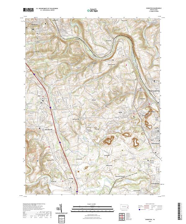
2023 Map of Cementon
USGS Topo · Published 2023About this map
The Lehigh River valley serves as the central corridor for this detailed topographic study, which highlights a landscape shaped by historical transport and industry. Parallel rail lines, including the Lehigh Valley RR and the Lehigh & New England RR, follow the river's winding path through communities such as Laurys Station, Rockdale, and Cementon. The map is particularly rich in genealogical data, preserving the locations of numerous parish burial grounds like Assumption Blessed Virgin Mary Cem and Saint John the Baptist Roman Catholic Cem. A notable historical marker, the Lehigh County Massacre Gravesite, is situated near Scheidy, providing a tangible link to colonial-era conflicts. Higher elevations like Sandstone Ridge and Laurel Hill provide the backdrop for industrial and residential expansion, while smaller water bodies like Copeechan Pond and Todd Lake dot the rural gaps between growing settlements like Egypt and Orefield.
Find a feature on this map
256 named features on this map. Tap any name to fly to it.
Don’t see what you’re looking for? This feature index may not catch every label — zoom into the map to look around manually.
Map Details
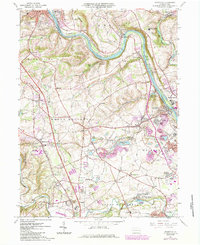
Editions of this 2023 Cementon Map
This is the sole edition of this map. No revisions or reprints were ever made.
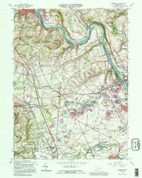
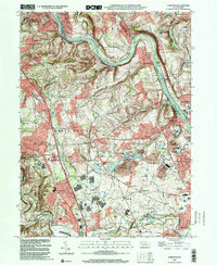
Historical Maps of Neffs Through Time
4 maps found
Featured Locations
- Slatington, PA
- Cementon, Whitehall
- Egypt, Whitehall
- Rising Sun, North Whitehall Township
- Friedens, Washington Township