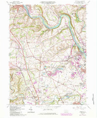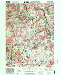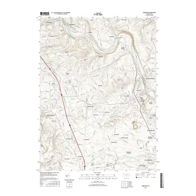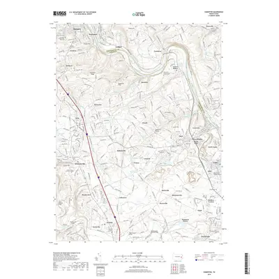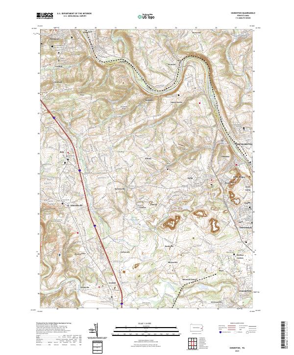
1992 Map of Cementon
USGS Topo · Published 1995About this map
The Lehigh River snakes through this industrial and agricultural corridor during the early 1990s, highlighting the transition between established borough life and the heavy industry of the Lehigh Valley. Cementon and Northampton anchor the riverbanks, where the presence of the Dewey Heights Quarry and numerous quarries near Egypt and Ormrod underscores the region's long-standing connection to the cement industry. The landscape is a dense network of early settlement patterns, from the northern heights of Slatington to the southern reach of Jordan Creek.
Find a feature on this map
91 named features on this map. Tap any name to fly to it.
Don’t see what you’re looking for? This feature index may not catch every label — zoom into the map to look around manually.
Map Details
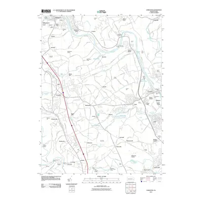
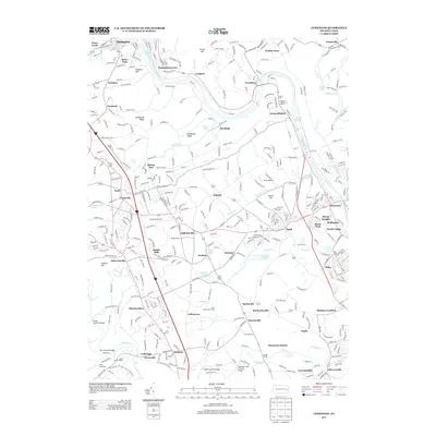
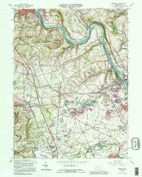
Editions of this 1992 Cementon Map
This is the sole edition of this map. No revisions or reprints were ever made.
Historical Maps of Slatington Through Time
8 maps found