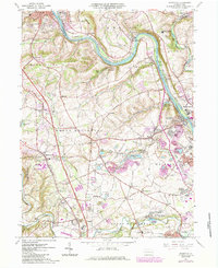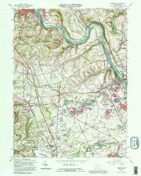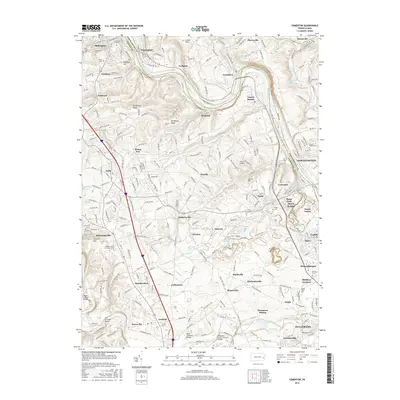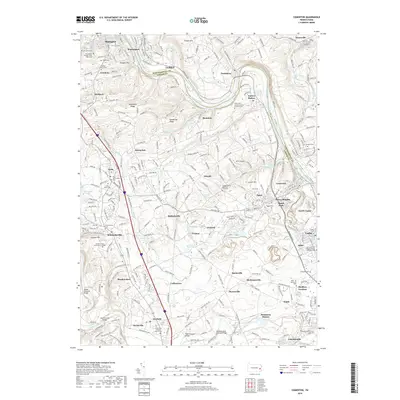
1999 Map of Cementon
USGS Topo · Published 2001About this map
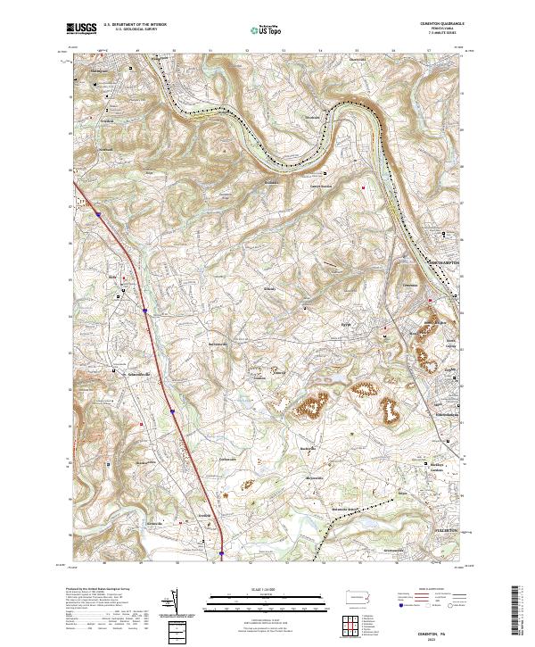
Lehigh River corridors and the industrial heritage of the Lehigh Valley define this landscape at the close of the 20th century. The map centers on the intensive quarrying operations near Egypt and Cementon, where the namesake industry shaped local development and land use patterns. Scattered through the hills of North Whitehall and Whitehall are long-established community anchors like Balliettsville, Schnecksville, and the historic Shankweilers area. Institutional presence is notable with Mary Immaculate Missionary College and large campus facilities like Parkland High Sch. The transition from rural crossroad settlements to modern suburban density is evident in the growth around Mickleys Gardens and Stiles, while the winding river valley maintains its utility with the Conrail lines and various filtration and power facilities. Local genealogists will find value in the named cemeteries like Union Cem and smaller township schools that mark the region's earlier educational landscape.
Find a feature on this map
90 named features on this map. Tap any name to fly to it.
Don’t see what you’re looking for? This feature index may not catch every label — zoom into the map to look around manually.
Map Details
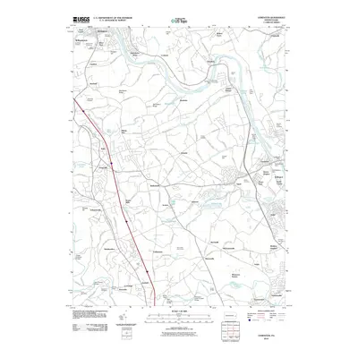
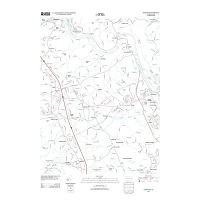
Editions of this 1999 Cementon Map
This is the sole edition of this map. No revisions or reprints were ever made.
Historical Maps of Slatington Through Time
8 maps found