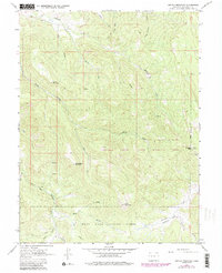
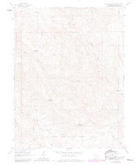
1963 Map of Center Mountain
USGS Topo · Published 1988About this map
Garfield Creek State Wildlife Area dominates the northern reaches of this Colorado landscape, characterized by a complex network of high ridges and drainage gulches. The terrain is defined by prominent peaks including Center Mountain, Little Baldy Mountain, and Baid Mountain, while the southeastern corner reaches toward Sunlight Peak. Water management and aviation history are evident through features like the Sykes and Alford Ditch near Alkali Creek and an Airway Beacon positioned on the eastern heights. The southern portion of the map transitions into the White River National Forest, where Fourmile Park provides a break in the topography. This 1963 survey, with updates from the 1980s, captures the region's character as a managed wilderness area where early irrigation infrastructure and modern communication tools like Radio Towers coexist among the headwaters of Garfield Creek and the West Fork.
Find a feature on this map
33 named features on this map. Tap any name to fly to it.
Don’t see what you’re looking for? This feature index may not catch every label — zoom into the map to look around manually.
Map Details
Editions of this 1963 Center Mountain Map
6 editions found
Other maps of this area

1906 · Grand Hogback
USGS Topo · 1:125,000

1910 · Grand Hogback
USGS Topo · 1:125,000

1927 · Glenwood Springs
USGS Topo · 1:125,000

1930 · Glenwood Springs
USGS Topo · 1:125,000

1957 · Leadville
USGS Topo · 1:250,000

1959 · Leadville
USGS Topo · 1:250,000

1960 · Leadville
USGS Topo · 1:250,000

1961 · Cattle Creek
USGS Topo · 1:24,000

1961 · Glenwood Springs
USGS Topo · 1:24,000

1962 · Leadville
USGS Topo · 1:250,000