Loading...
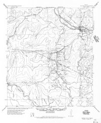
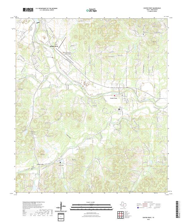
Loading map...1956 Map of Center Point
USGS Topo · Published 1956About this map
The Guadalupe River and the T & NO (S P Lines) railroad corridor anchor this mid-century topographic view of the Texas Hill Country. The settlement of Center Point sits at the intersection of several significant transit routes, including the Old Spanish Trail and US Hy No 290. To the south, the landscape transitions into the rugged drainage basins of the Medina River and Bandera Cr, marked by prominent landmarks like Bandera Pass and Sugar Loaf Hill.
Find a feature on this map
81 named features on this map. Tap any name to fly to it.
Don’t see what you’re looking for? This feature index may not catch every label — zoom into the map to look around manually.
Map Details
Date Portrayed1956
Date Published1956
PublisherU.S. Geological Survey
Map TypeTopographic
Scale1:62,500
Physical Dimensions18 x 21.9 inches
Editions of this 1956 Center Point Map
This is the sole edition of this map. No revisions or reprints were ever made.
Historical Maps of Kerrville Through Time
7 maps found
Featured Locations
Source Details
SourceU.S. Geological Survey
CopyrightPublic Domain