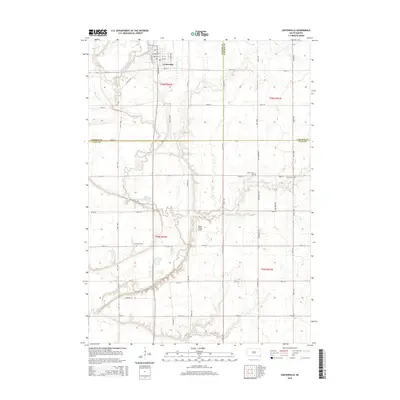
2015 Map of Centerville
USGS Topo · Published 2015About this map
Centerville serves as the primary hub in this corner of southeastern South Dakota, where the intersection of Main St and Broadway St anchors the local grid. The landscape is defined by the winding course of the Vermillion River, which carves a wide valley through the agricultural plains. This survey documents a sophisticated drainage network essential to local farming, including the Noble Ditch and Bonine Ditch, which channel water away from the productive fields toward the river and its tributaries like Turkey Ridge Cr and Blind Cr.
Find a feature on this map
43 named features on this map. Tap any name to fly to it.
Don’t see what you’re looking for? This feature index may not catch every label — zoom into the map to look around manually.
Map Details
Editions of this 2015 Centerville Map
This is the sole edition of this map. No revisions or reprints were ever made.
Other maps of this area

1897 · Canton
USGS Topo · 1:125,000

1898 · Parker
USGS Topo · 1:125,000

1898 · Elk Point
USGS Topo · 1:125,000

1900 · Canton
USGS Topo · 1:125,000

1901 · Elk Point
USGS Topo · 1:125,000

1907 · Elk Point
USGS Topo · 1:125,000

1955 · Sioux City
USGS Topo · 1:250,000

1955 · Sioux Falls
USGS Topo · 1:250,000

1958 · Sioux City
USGS Topo · 1:250,000

1958 · Sioux Falls
USGS Topo · 1:250,000
Featured Places
- Centerville, SD
- Centerville Township, SD
- Riverside Township, SD
- Brooklyn Township, SD
- Glenwood Township, SD