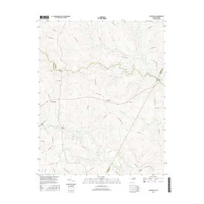
2016 Map of Centerville
USGS Topo · Published 2016About this map
The community of Centerville serves as a central point in this rural landscape where Franklin, Warren, Nash, and Halifax counties meet. Defined by the winding course of Shocco Creek and the lowlands of White Oak Swamp, the area preserves a traditional North Carolina Piedmont character. The map illustrates a network of named river crossings that have historically connected these agricultural communities, including Shocco Bridge, Ransoms Bridge, and Bass Bridge over the local waterways. Beyond the primary settlement at Centerville, the village of Wood sits at a crossroads further east. Local history and genealogy are anchored by family-named thoroughfares such as Horace Perry Rd, J B Leonard Rd, and James Tharrington Way, while landmarks like Wood Church Rd and Red Bud Church Rd indicate the long-standing importance of community institutions in the region.
Find a feature on this map
51 named features on this map. Tap any name to fly to it.
Don’t see what you’re looking for? This feature index may not catch every label — zoom into the map to look around manually.
Map Details
Editions of this 2016 Centerville Map
This is the sole edition of this map. No revisions or reprints were ever made.
Other maps of this area

1953 · Norfolk
USGS Topo · 1:250,000

1953 · Greensboro
USGS Topo · 1:250,000

1954 · Greensboro
USGS Topo · 1:250,000

1962 · Greensboro
USGS Topo · 1:250,000

1963 · Red Oak
USGS Topo · 1:24,000

1963 · Essex
USGS Topo · 1:24,000

1966 · Greensboro
USGS Topo · 1:250,000

1971 · Inez
USGS Topo · 1:24,000

1971 · Afton
USGS Topo · 1:24,000

1973 · Hollister
USGS Topo · 1:24,000