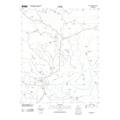
2010 Map of Centerville
USGS Topo · Published 2010About this map
Centerville serves as the focal point of this Hickman County landscape, situated along a prominent bend of the Duck River. The area's industrial and agricultural history is etched into the terrain, from the Nunnelly Mines and Easley Mines in the north to the Hickman County Fairgrounds near the town center. The map details a complex network of hollows with evocative names like Bushwhacker Hollow and Railroad Hollow, reflecting the region's topography and settlement patterns.
Find a feature on this map
126 named features on this map. Tap any name to fly to it.
Don’t see what you’re looking for? This feature index may not catch every label — zoom into the map to look around manually.
Map Details
Editions of this 2010 Centerville Map
This is the sole edition of this map. No revisions or reprints were ever made.
Other maps of this area

1901 · Colombia
USGS Topo · 1:125,000

1936 · Beaverdam Springs
USGS Topo · 1:24,000

1936 · Nunnelly
USGS Topo · 1:24,000

1936 · Whitfield
USGS Topo · 1:24,000

1936 · Sunrise
USGS Topo · 1:24,000

1936 · Littlelot
USGS Topo · 1:24,000

1936 · Texas Hollow
USGS Topo · 1:24,000

1936 · Spot
USGS Topo · 1:24,000

1936 · Greenfield Bend
USGS Topo · 1:24,000

1936 · Lyles
USGS Topo · 1:24,000