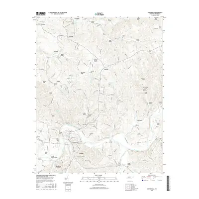
2016 Map of Centerville
USGS Topo · Published 2016About this map
The Duck River meanders through the heart of Hickman County, shaping the landscape near the county seat of Centerville. This 2016 survey shows the town and its surrounding settlements, including Twomey and Woodland Heights, as they appeared in the early 21st century. The terrain is defined by a dense network of hollows and ridges, such as Harrington Ridge and Moss Spring Hollow, which have long dictated the path of local roads like Defeated Creek Rd.
Find a feature on this map
179 named features on this map. Tap any name to fly to it.
Don’t see what you’re looking for? This feature index may not catch every label — zoom into the map to look around manually.
Map Details
Editions of this 2016 Centerville Map
This is the sole edition of this map. No revisions or reprints were ever made.
Other maps of this area

1901 · Colombia
USGS Topo · 1:125,000

1936 · Beaverdam Springs
USGS Topo · 1:24,000

1936 · Nunnelly
USGS Topo · 1:24,000

1936 · Whitfield
USGS Topo · 1:24,000

1936 · Sunrise
USGS Topo · 1:24,000

1936 · Littlelot
USGS Topo · 1:24,000

1936 · Texas Hollow
USGS Topo · 1:24,000

1936 · Spot
USGS Topo · 1:24,000

1936 · Greenfield Bend
USGS Topo · 1:24,000

1936 · Lyles
USGS Topo · 1:24,000