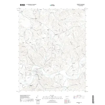
2019 Map of Centerville
USGS Topo · Published 2019About this map
The Duck River snakes through the heart of Hickman County, shaping a landscape of dramatic bends and fertile valleys in this modern survey. The town of Centerville serves as the central hub, surrounded by smaller settlements like Twomey, Nunnelly, and Fairfield. The terrain is deeply dissected by numerous hollows, including Duncan Hollow and Bushwhacker Hollow, which reflect the region's complex topography. This map is particularly valuable for genealogical research, as it identifies over a dozen burial sites throughout the rural countryside, from the Harrington Cem near the Centerville Municipal Airport to the Totty Cem in Tottys Bend. Transport and industry are represented by a network of local routes such as Washer Hollow Rd and Industrial Rd, while natural features like Blowing Spring and Nickells Lake punctuate the wooded hillsides. The mapping of Grays Bend and Eason Bend illustrates how the river's path has historically influenced land use and settlement patterns in Middle Tennessee.
Find a feature on this map
179 named features on this map. Tap any name to fly to it.
Don’t see what you’re looking for? This feature index may not catch every label — zoom into the map to look around manually.
Map Details
Editions of this 2019 Centerville Map
This is the sole edition of this map. No revisions or reprints were ever made.
Other maps of this area

1901 · Colombia
USGS Topo · 1:125,000

1936 · Beaverdam Springs
USGS Topo · 1:24,000

1936 · Nunnelly
USGS Topo · 1:24,000

1936 · Whitfield
USGS Topo · 1:24,000

1936 · Sunrise
USGS Topo · 1:24,000

1936 · Littlelot
USGS Topo · 1:24,000

1936 · Texas Hollow
USGS Topo · 1:24,000

1936 · Spot
USGS Topo · 1:24,000

1936 · Greenfield Bend
USGS Topo · 1:24,000

1936 · Lyles
USGS Topo · 1:24,000