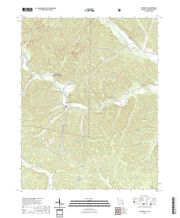
2021 Map of Centerville
USGS Topo · Published 2021About this map
Centerville serves as the focal point of this survey, situated at the confluence where the West Fork Black River meets the Middle Fork Black River. As the seat of local government, the town is anchored by the Reynolds County Courthouse, while the nearby Ray Johnson Inc Airport provides a modern aerial connection to this pocket of the Ozarks. The landscape is defined by its complex drainage and ridge systems, including Low Gap Ridge and dozens of named hollows like McNab Hollow and Harrison Hollow that cut through the extensive Mark Twain National Forest. Local history is preserved in several rural burial grounds, including Howell Cem, Johnson Cem, and Rayfield Cem, which are scattered among small settlements such as Harrison Valley. The network of backroads, including Old Hwy 21 and Karkagne Drive, traces the winding topography and natural water sources like Reeds Spring.
Find a feature on this map
57 named features on this map. Tap any name to fly to it.
Don’t see what you’re looking for? This feature index may not catch every label — zoom into the map to look around manually.
Map Details
Editions of this 2021 Centerville Map
This is the sole edition of this map. No revisions or reprints were ever made.
Other maps of this area

1924 · Edgehill
USGS Topo · 1:62,500

1926 · Edgehill
USGS Topo · 1:62,500

1943 · Lesterville
USGS Topo · 1:62,500

1943 · Boss
USGS Topo · 1:62,500

1944 · Corridon
USGS Topo · 1:62,500

1946 · Lesterville
USGS Topo · 1:62,500

1946 · Boss
USGS Topo · 1:62,500

1947 · Corridon
USGS Topo · 1:62,500

1949 · Rolla
USGS Topo · 1:250,000

1953 · Rolla
USGS Topo · 1:250,000