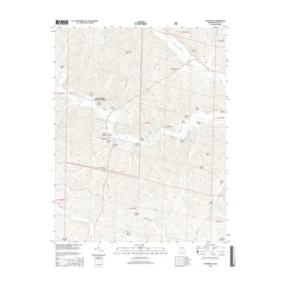
2015 Map of Centerville
USGS Topo · Published 2015About this map
The West Fork Black River and Middle Fork Black River converge near the settlement of Centerville, anchoring this 2015 study of the Missouri Ozarks. Large portions of the terrain are preserved within the Mark Twain National Forest, characterized by deep hollows and ridges such as Low Gap Ridge and Clarady Bluff. The landscape is etched with local history, visible in the distribution of family-named landmarks like McLean Hollow, Adams Hollow, and Harrison Valley.
Find a feature on this map
60 named features on this map. Tap any name to fly to it.
Don’t see what you’re looking for? This feature index may not catch every label — zoom into the map to look around manually.
Map Details
Editions of this 2015 Centerville Map
This is the sole edition of this map. No revisions or reprints were ever made.
Other maps of this area

1924 · Edgehill
USGS Topo · 1:62,500

1926 · Edgehill
USGS Topo · 1:62,500

1943 · Lesterville
USGS Topo · 1:62,500

1943 · Boss
USGS Topo · 1:62,500

1944 · Corridon
USGS Topo · 1:62,500

1946 · Lesterville
USGS Topo · 1:62,500

1946 · Boss
USGS Topo · 1:62,500

1947 · Corridon
USGS Topo · 1:62,500

1949 · Rolla
USGS Topo · 1:250,000

1953 · Rolla
USGS Topo · 1:250,000