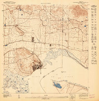
1947 Map of Central Aquirre NO
USGS Topo · Published 1947About this map
Central Aguirre stands as the industrial anchor of this coastal landscape along the Bahía de Jobos, appearing here in the mid-1940s during a pivotal era for the local sugar economy. The map reveals an intricate network of water management essential to the region, including the Canal de Guamaní and Canal de Patillas which traverse the plains to support agricultural production. Nearby settlements like Coquí and San Felipe provide a clear view of the residential patterns surrounding the central mill, while the small harbor at Puerto Jobos marks the connection between land-based industry and maritime trade. Topographic details trace the transition from the marshy coastline near Pta Rodeo to the rising elevations of the interior, drained by several streams such as Quebrada Cimarron and Quebrada Verdes.
Find a feature on this map
16 named features on this map. Tap any name to fly to it.
Don’t see what you’re looking for? This feature index may not catch every label — zoom into the map to look around manually.
Map Details
Editions of this 1947 Central Aquirre NO Map
This is the sole edition of this map. No revisions or reprints were ever made.
Other maps of this area

1945 · Central Aguirre
USGS Topo · 1:30,000

1945 · Salinas
USGS Topo · 1:30,000

1946 · Coamo
USGS Topo · 1:30,000

1946 · Cayey
USGS Topo · 1:30,000
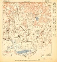
1947 · Central Aguirre NE
USGS Topo · 1:10,000

1947 · Cayey SO
USGS Topo · 1:10,000
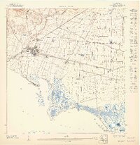
1947 · Salinas NE
USGS Topo · 1:10,000
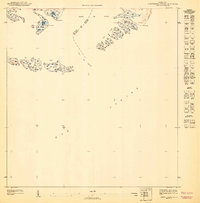
1947 · Central Aquirre SO
USGS Topo · 1:10,000
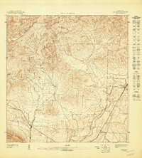
1947 · Coamo SE
USGS Topo · 1:10,000
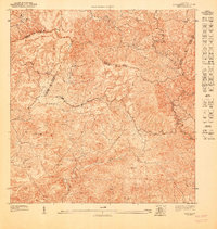
1947 · Cayey SE
USGS Topo · 1:10,000