2022 Map of Central City
USGS Topo · Published 2022About this map
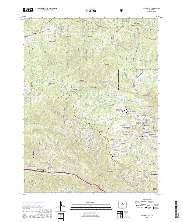
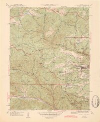
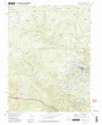
The gold mining legacy of Gilpin County is etched into the high country between Central City and Black Hawk. This survey details the concentrated clusters of fraternal and religious burial grounds situated on the slopes of Nevada Hill and Quartz Hill, including the Independent Order of Oddfellows Cem, Catholic Cem, and Masonic Cem. These sites, along with the settlement at Nevadaville, speak to a dense late-19th-century population supported by intensive mineral extraction. To the south, the terrain descends toward the Interstate 70 corridor where the communities of Dumont and Downieville-Lawson-Dumont follow the banks of the Fall River. The surrounding landscape is largely managed as the Arapaho National Forest and Roosevelt National Forest, preserving a rugged environment marked by numerous named peaks like Mt Pisgah and Bald Mountain.
Find a feature on this map
171 named features on this map. Tap any name to fly to it.
Don’t see what you’re looking for? This feature index may not catch every label — zoom into the map to look around manually.
Map Details
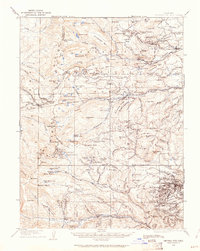
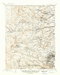
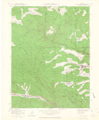
Editions of this 2022 Central City Map
This is the sole edition of this map. No revisions or reprints were ever made.
Historical Maps of Columbine Campground Through Time
7 maps found

Featured Locations
- Columbine Campground, CO
- Pickle Gulch Group Campground, CO
- Black Hawk, CO
- Gilson Gulch, CO
- Idaho Springs, CO