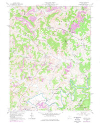
1960 Map of Century
USGS Topo · Published 1978About this map
The Baltimore and Ohio railroad corridor anchors this industrial and rural landscape at the intersection of Barbour, Upshur, and Harrison counties. Heavy extraction activity is evident throughout the terrain, dominated by numerous strip mines, a conveyor system at Century No 2, and various oil wells dotting the hillsides near Hodgesville. These industrial features are juxtaposed with traditional Appalachian community centers, including Mt Zion Ch and the Sugar Grove Sch.
Find a feature on this map
75 named features on this map. Tap any name to fly to it.
Don’t see what you’re looking for? This feature index may not catch every label — zoom into the map to look around manually.
Map Details
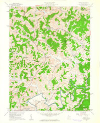
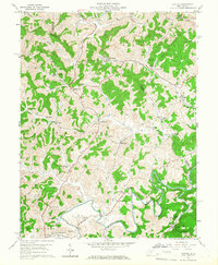
Editions of this 1960 Century Map
3 editions found
Other maps of this area

1893 · Buckhannon
USGS Topo · 1:125,000

1896 · Buckhannon
USGS Topo · 1:125,000

1897 · Buckhannon
USGS Topo · 1:125,000

1904 · Philippi
USGS Topo · 1:62,500

1904 · Weston
USGS Topo · 1:62,500

1912 · Sago
USGS Topo · 1:48,000

1912 · Crawford
USGS Topo · 1:48,000

1914 · Sago
USGS Topo · 1:62,500

1914 · Crawford
USGS Topo · 1:62,500

1925 · Philippi
USGS Topo · 1:62,500