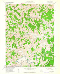
1960 Map of Century
USGS Topo · Published 1961About this map
Coal mining and rural education define the landscape of the Upshur Co Barbour Co boundary during the early 1960s. The map illustrates a region transitioning between agricultural valleys and industrial extraction, most notably at the Strip Mines and the Mine Dump near the community of Century. This period shows a high density of local institutions that anchored small hollows, including the Upper Peeks Run Sch, Sugar Grove Sch, and Macedonia Sch.
Find a feature on this map
67 named features on this map. Tap any name to fly to it.
Don’t see what you’re looking for? This feature index may not catch every label — zoom into the map to look around manually.
Map Details
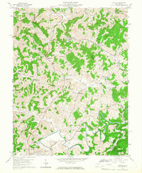
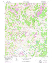
Editions of this 1960 Century Map
3 editions found
Other maps of this area

1893 · Buckhannon
USGS Topo · 1:125,000

1896 · Buckhannon
USGS Topo · 1:125,000

1897 · Buckhannon
USGS Topo · 1:125,000

1904 · Philippi
USGS Topo · 1:62,500

1904 · Weston
USGS Topo · 1:62,500

1912 · Sago
USGS Topo · 1:48,000

1912 · Crawford
USGS Topo · 1:48,000

1914 · Sago
USGS Topo · 1:62,500

1914 · Crawford
USGS Topo · 1:62,500

1925 · Philippi
USGS Topo · 1:62,500