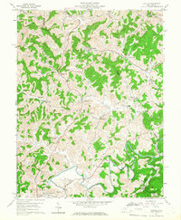
1960 Map of Century
USGS Topo · Published 1966About this map
Strip mines and oil wells pattern this terrain where the Harrison, Barbour, and Upshur county lines converge. The landscape is defined by the industrial presence of Century and Century No 2, connected by the Baltimore and Ohio railroad which winds through the valleys of Peeks Run and Big Run. Extensive mining operations, including a prominent mine dump near Century, sit adjacent to established rural communities and family-named landmarks like Reger Ch and Rohrbough Cem. To the south, the Buckhannon River carves a deep loop at Miner Bend near the settlement of Fishing Camp. This era of the 1960s shows a transition where traditional landmarks like Kesling Mill and numerous country churches, such as Macedonia Ch and Mt Lebanon Ch, coexist with a growing network of pipelines and industrial extraction sites.
Find a feature on this map
75 named features on this map. Tap any name to fly to it.
Don’t see what you’re looking for? This feature index may not catch every label — zoom into the map to look around manually.
Map Details
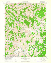
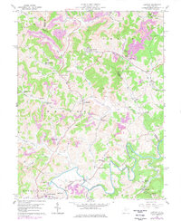
Editions of this 1960 Century Map
3 editions found
Other maps of this area

1893 · Buckhannon
USGS Topo · 1:125,000

1896 · Buckhannon
USGS Topo · 1:125,000

1897 · Buckhannon
USGS Topo · 1:125,000

1904 · Philippi
USGS Topo · 1:62,500

1904 · Weston
USGS Topo · 1:62,500

1912 · Sago
USGS Topo · 1:48,000

1912 · Crawford
USGS Topo · 1:48,000

1914 · Sago
USGS Topo · 1:62,500

1914 · Crawford
USGS Topo · 1:62,500

1925 · Philippi
USGS Topo · 1:62,500