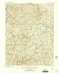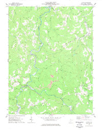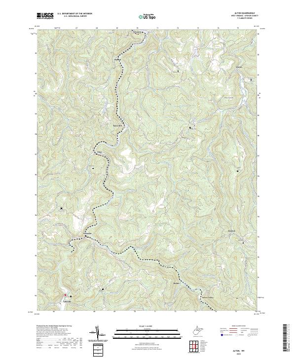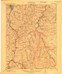
1914 Map of Sago
USGS Topo · Published 1914About this map
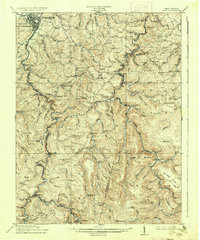
The Buckhannon River serves as the primary artery for this West Virginia landscape, winding north past the growing county seat at Buckhannon and the rail-connected settlement at Sago. In the years before World War I, the region is defined by a dense network of timber and coal-hauling lines, including the Baltimore and Ohio RR, the Coal and Coke RR, and the Alexander and Rich Mountain RR. This infrastructure supported numerous small rural communities such as Tallmansville, Ellamore, and Alexander, each anchored by essential local institutions.
Find a feature on this map
135 named features on this map. Tap any name to fly to it.
Don’t see what you’re looking for? This feature index may not catch every label — zoom into the map to look around manually.
Map Details
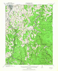
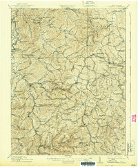
Editions of this 1914 Sago Map
4 editions found
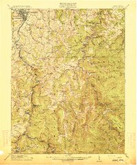

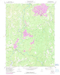
Historical Maps of Buckhannon Through Time
7 maps found