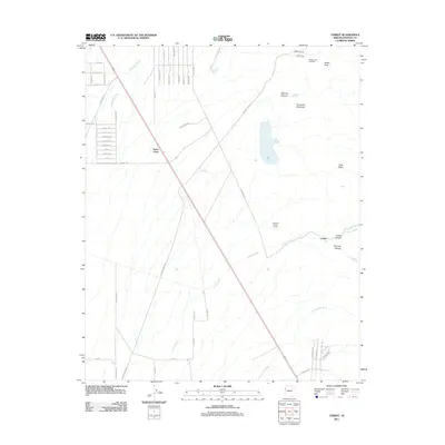
2011 Map of Cerbat
USGS Topo · Published 2011About this map
Santa Claus sits as a notable desert outpost along the highway in this Mohave County landscape, where the terrain is defined by dry washes and high peaks. The northeast corner of the map reveals the legacy of local enterprise and settlement, featuring the Mineral Park area. Here, researchers can find the Mineral Park Cemetery near the slopes of Ithaca Peak and the copper and gemstone-rich Turquoise Mountain. The map illustrates a landscape of high-elevation basins like Todd Basin and deep incisions such as Bismark Canyon and Cerbat Canyon. To the south, the settlement of Cerbat is positioned near where the Colorado River Tunnel meets the complex drainage systems of Cerbat Wash and Thirteenmile Wash. The residential street grid in the northwest, including Albite St and Sleigh St, contrasts sharply with the vast, open network of desert roads like Frye Mesa Rd that service the surrounding peaks.
Find a feature on this map
53 named features on this map. Tap any name to fly to it.
Don’t see what you’re looking for? This feature index may not catch every label — zoom into the map to look around manually.
Map Details
Editions of this 2011 Cerbat Map
This is the sole edition of this map. No revisions or reprints were ever made.
Other maps of this area

1886 · Camp Mohave
USGS Topo · 1:250,000

1892 · Camp Mohave
USGS Topo · 1:250,000

1939 · Chloride
USGS Topo · 1:48,000

1942 · Camp Mohave
USGS Topo · 1:250,000

1944 · Chloride
USGS Topo · 1:62,500

1947 · Kingman
USGS Topo · 1:250,000

1948 · Kingman
USGS Topo · 1:250,000

1954 · Kingman
USGS Topo · 1:250,000

1955 · Kingman
USGS Topo · 1:250,000

1958 · Kingman
USGS Topo · 1:250,000