
1939 Map of Chloride
USGS Topo · Published 1939About this map
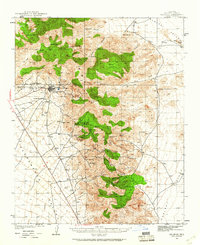
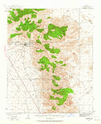
Chloride serves as the focal point of this mining-heavy landscape in the late 1930s, positioned along State Highway No 62 between the Sacramento Valley and the Cerbat Mountains. The topography is dominated by a concentrated belt of hard-rock mining operations, including the Tennessee Mine, Arizona Magma Mine, and Keystone Mine. This survey captures the region just before wartime industrial shifts, showing the proximity of early settlements like Mineral Park and the whimsically named Santa Claus to established cattle operations such as Barksdale Ranch and Lewis Ranch.
Find a feature on this map
44 named features on this map. Tap any name to fly to it.
Don’t see what you’re looking for? This feature index may not catch every label — zoom into the map to look around manually.
Map Details
Editions of this 1939 Chloride Map
3 editions found
Other maps of this area

1886 · Diamond Creek
USGS Topo · 1:250,000

1886 · Camp Mohave
USGS Topo · 1:250,000

1892 · Diamond Creek
USGS Topo · 1:250,000

1892 · Camp Mohave
USGS Topo · 1:250,000

1942 · Camp Mohave
USGS Topo · 1:250,000

1944 · Chloride
USGS Topo · 1:62,500

1947 · Kingman
USGS Topo · 1:250,000

1948 · Kingman
USGS Topo · 1:250,000

1948 · Williams
USGS Topo · 1:250,000

1954 · Kingman
USGS Topo · 1:250,000