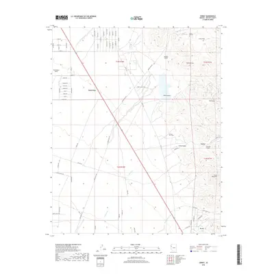
2018 Map of Cerbat
USGS Topo · Published 2018About this map
The whimsical holiday-themed settlement of Santa Claus stands out against the arid backdrop of the Sacramento Valley in this survey of northwestern Arizona. To the east, the Cerbat Mountains dominate the horizon, housing the historic mining-related sites of Cerbat and the Mineral Park Cem. The landscape is a study in desert hydrology and geological features, with numerous drainage systems like Tennessee Wash, Cerbat Wash, and Thirteenmile Wash cutting through the terrain towards the west.
Find a feature on this map
43 named features on this map. Tap any name to fly to it.
Don’t see what you’re looking for? This feature index may not catch every label — zoom into the map to look around manually.
Map Details
Editions of this 2018 Cerbat Map
This is the sole edition of this map. No revisions or reprints were ever made.
Other maps of this area

1886 · Camp Mohave
USGS Topo · 1:250,000

1892 · Camp Mohave
USGS Topo · 1:250,000

1939 · Chloride
USGS Topo · 1:48,000

1942 · Camp Mohave
USGS Topo · 1:250,000

1944 · Chloride
USGS Topo · 1:62,500

1947 · Kingman
USGS Topo · 1:250,000

1948 · Kingman
USGS Topo · 1:250,000

1954 · Kingman
USGS Topo · 1:250,000

1955 · Kingman
USGS Topo · 1:250,000

1958 · Kingman
USGS Topo · 1:250,000