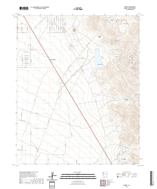
2021 Map of Cerbat
USGS Topo · Published 2021About this map
Santa Claus and the eastern fringes of the Sacramento Valley define the western landscape of this Mohave County region. The terrain transitions sharply from the alluvial flats of the Mojave Desert into the rugged elevations of the Cerbat Mountains, where peaks like Ithaca Peak and Turquoise Mtn overlook the surrounding basins. A legacy of local habitation and industry is evident at the Mineral Park Cem near the northern boundary, while the namesake settlement of Cerbat is tucked into the mouth of Cerbat Canyon to the southeast. The area is heavily defined by its drainage network, including the expansive Thirteenmile Wash and Tennessee Wash, which have historically dictated the placement of roads and small communities such as So-Hi.
Find a feature on this map
73 named features on this map. Tap any name to fly to it.
Don’t see what you’re looking for? This feature index may not catch every label — zoom into the map to look around manually.
Map Details
Editions of this 2021 Cerbat Map
This is the sole edition of this map. No revisions or reprints were ever made.
Other maps of this area

1886 · Camp Mohave
USGS Topo · 1:250,000

1892 · Camp Mohave
USGS Topo · 1:250,000

1939 · Chloride
USGS Topo · 1:48,000

1942 · Camp Mohave
USGS Topo · 1:250,000

1944 · Chloride
USGS Topo · 1:62,500

1947 · Kingman
USGS Topo · 1:250,000

1948 · Kingman
USGS Topo · 1:250,000

1954 · Kingman
USGS Topo · 1:250,000

1955 · Kingman
USGS Topo · 1:250,000

1958 · Kingman
USGS Topo · 1:250,000