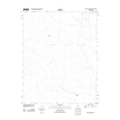
2012 Map of Cerro Colorado
USGS Topo · Published 2012About this map
Cerro Colorado rises above a landscape defined by an intricate network of seasonal drainages in this early 21st-century survey of western Fresno County. The drainage patterns of Mercey Cr and the S Fork Mercey Cr dominate the northern terrain, while Vasquez Cr and Little Panoche Cr carve paths through the eastern reaches. The map reflects a sparsely settled area where the physical geography dictating land use is clear through the deep incisions of Las Aguilas Canyon. To the south, Las Aguilas Cr meanders through the foothills, indicating the historical importance of water sources in this part of California. The presence of Mine Cr in the northeast corner hints at the region's geological prospects and past land exploitation, providing a clear record of the area's topography before more modern developments or shifts in land management.
Find a feature on this map
8 named features on this map. Tap any name to fly to it.
Don’t see what you’re looking for? This feature index may not catch every label — zoom into the map to look around manually.
Map Details
Editions of this 2012 Cerro Colorado Map
This is the sole edition of this map. No revisions or reprints were ever made.
Other maps of this area

1913 · Panoche
USGS Topo · 1:125,000

1919 · San Benito
USGS Topo · 1:62,500

1921 · Laguna Seca Ranch
USGS Topo · 1:31,680

1922 · Quien Sabe
USGS Topo · 1:62,500

1923 · Laguna Seca Ranch
USGS Topo · 1:31,680

1931 · San Benito
USGS Topo · 1:62,500

1940 · Quien Sabe
USGS Topo · 1:62,500

1940 · San Benito
USGS Topo · 1:62,500

1943 · Ortigalita Peak
USGS Topo · 1:62,500

1944 · Panoche Valley
USGS Topo · 1:62,500