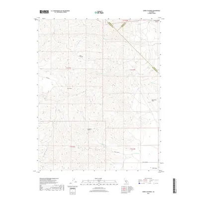
2018 Map of Cerro Colorado
USGS Topo · Published 2018About this map
The high ridges of the Diablo Range dominate this portion of Fresno and San Benito counties, defined by complex topography and intermittent watercourses. Cerro Colorado stands as a prominent peak overlooking the intersection of several distinct drainage basins, including the headwaters of Mercey Cr and its southern fork. The landscape is marked by tucked-away lowland pockets like Slacks Valley and Little Panoche Valley, which historically served as vital corridors for movement through this arid upland. A unique geological profile is highlighted by the presence of Glaucophane Ridge on the eastern edge of the survey area.
Find a feature on this map
23 named features on this map. Tap any name to fly to it.
Don’t see what you’re looking for? This feature index may not catch every label — zoom into the map to look around manually.
Map Details
Editions of this 2018 Cerro Colorado Map
This is the sole edition of this map. No revisions or reprints were ever made.
Other maps of this area

1913 · Panoche
USGS Topo · 1:125,000

1919 · San Benito
USGS Topo · 1:62,500

1921 · Laguna Seca Ranch
USGS Topo · 1:31,680

1922 · Quien Sabe
USGS Topo · 1:62,500

1923 · Laguna Seca Ranch
USGS Topo · 1:31,680

1931 · San Benito
USGS Topo · 1:62,500

1940 · Quien Sabe
USGS Topo · 1:62,500

1940 · San Benito
USGS Topo · 1:62,500

1943 · Ortigalita Peak
USGS Topo · 1:62,500

1944 · Panoche Valley
USGS Topo · 1:62,500