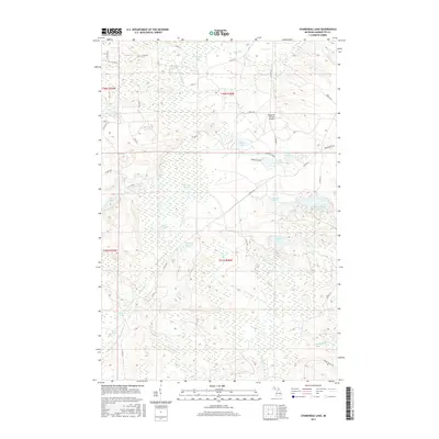
2017 Map of Chabeneau Lake
USGS Topo · Published 2017About this map
Chabeneau Lake and its smaller counterpart, Little Chabeneau Lake, anchor a landscape dominated by complex waterways and wetlands in Marquette County. This region is defined by a dense network of glacial lakes and marshlands, including the significant Sagola Swamp and the headwaters of the W Br Middle Br Escanaba River. The presence of the Edward F Johnson Airport provides a modern navigational point amidst the many named basins like Tanglefoot Lake, Lake Francoeur, and the cluster of Sagola Lakes. Numerous drainage systems such as Flat Rock Cr and Camp Eleven Cr weave through the timbered terrain, while a network of county roads and the Tower Truck Trl suggest a history of resource management and rural access. This survey details the hydrological patterns and elevation contours essential for understanding the remote interior of the Upper Peninsula.
Find a feature on this map
51 named features on this map. Tap any name to fly to it.
Don’t see what you’re looking for? This feature index may not catch every label — zoom into the map to look around manually.
Map Details
Editions of this 2017 Chabeneau Lake Map
This is the sole edition of this map. No revisions or reprints were ever made.
Other maps of this area

1952 · Ishpeming
USGS Topo · 1:62,500

1952 · Ishpeming
USGS Topo · 1:24,000

1955 · Ralph NW
USGS Topo · 1:24,000

1955 · Ralph NE
USGS Topo · 1:24,000

1955 · Greenwood
USGS Topo · 1:24,000

1955 · Republic
USGS Topo · 1:62,500

1955 · Republic
USGS Topo · 1:24,000

1955 · Republic SW
USGS Topo · 1:24,000

1955 · Ralph
USGS Topo · 1:62,500

1957 · Northland
USGS Topo · 1:62,500