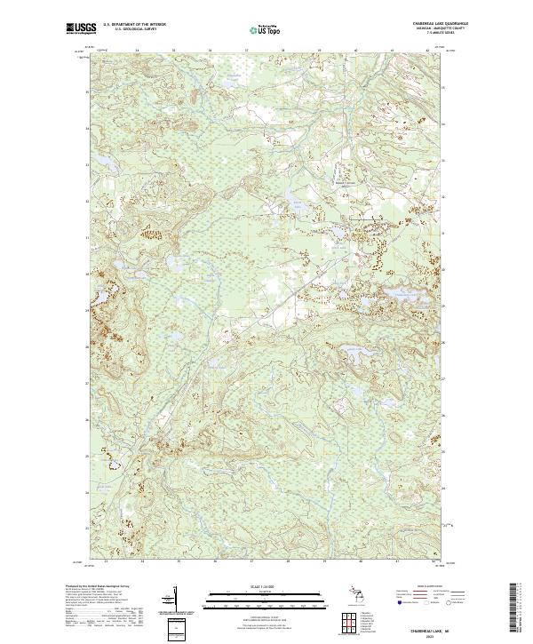
2023 Map of Chabeneau Lake
USGS Topo · Published 2023About this map
The West Branch Middle Branch Escanaba River meanders through this portion of Marquette County, defining a landscape dominated by glacial lakes and wetlands. The central region is characterized by the expansive Sagola Swamp, surrounded by smaller water bodies like the Sagola Lakes and Lake Pork Chop. Human presence is marked by a network of county roads and the isolated Edward F Johnson Airport, which serves this remote area of the Upper Peninsula. Several lakes, including Johnson Lake and Kaski Lake, suggest the importance of local family names in the region's geography. The map also traces various creeks that feed into the larger river system, such as Wild West Creek and Camp Eleven Creek, providing a detailed look at the hydrology of the T45N and T46N townships.
Find a feature on this map
51 named features on this map. Tap any name to fly to it.
Don’t see what you’re looking for? This feature index may not catch every label — zoom into the map to look around manually.
Map Details
Editions of this 2023 Chabeneau Lake Map
This is the sole edition of this map. No revisions or reprints were ever made.
Other maps of this area

1952 · Ishpeming
USGS Topo · 1:62,500

1952 · Ishpeming
USGS Topo · 1:24,000

1955 · Ralph NW
USGS Topo · 1:24,000

1955 · Ralph NE
USGS Topo · 1:24,000

1955 · Greenwood
USGS Topo · 1:24,000

1955 · Republic
USGS Topo · 1:62,500

1955 · Republic
USGS Topo · 1:24,000

1955 · Republic SW
USGS Topo · 1:24,000

1955 · Ralph
USGS Topo · 1:62,500

1957 · Northland
USGS Topo · 1:62,500