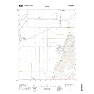
2017 Map of Chaffee
USGS Topo · Published 2017About this map
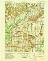
Chaffee anchors the eastern edge of this landscape, where the residential street grid gives way to the rising elevations of Cox Hill and Bell Hill. The town serves as a focal point for local genealogy, housing Union Park Cem and Saint Ambrose Catholic Cem. The surrounding region is defined by extensive water management infrastructure designed to drain the lowlands, including the prominent Castor River Diversion Channel, Dutchtown Ditch, and Hubble Creek. These engineering efforts transformed the area near Old Caney Basin and the former Old Channel Hubble Cr into productive territory.
Find a feature on this map
88 named features on this map. Tap any name to fly to it.
Don’t see what you’re looking for? This feature index may not catch every label — zoom into the map to look around manually.
Map Details
Editions of this 2017 Chaffee Map
This is the sole edition of this map. No revisions or reprints were ever made.
Other maps of this area
1922 · Cape Girardeau
USGS Topo · 1:62,500
1924 · Cape Girardeau
USGS Topo · 1:62,500
1933 · Marble Hill
USGS Topo · 1:62,500
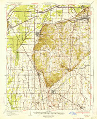
1934 · Morley
USGS Topo · 1:62,500
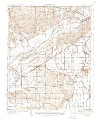
1934 · Advance
USGS Topo · 1:62,500
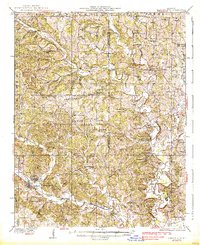
1937 · Marble Hill
USGS Topo · 1:62,500
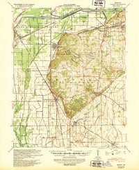
1939 · Morley
USGS Topo · 1:62,500
1939 · Advance
USGS Topo · 1:62,500

1949 · Paducah
USGS Topo · 1:250,000

1950 · Paducah
USGS Topo · 1:250,000