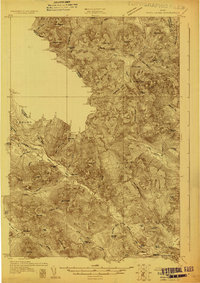
1928 Map of Chain Lakes
USGS Topo · Published 1928About this map
The international border between the United States and Canada defines the northwestern reaches of this Maine backcountry, where surveyors in 1928 documented a landscape of timber-driven outposts and high peaks. This area is characterized by a network of logging and sporting camps, such as Moosehill Camp, Caribou Camp, and Ben Dewitt Camp, which were essential to the local forest economy. The presence of Round Mtn PO and the Upper Farm near Chain Lakes suggests a small, working community established amidst the drainage systems of the Moose River and Alder Stream.
Find a feature on this map
97 named features on this map. Tap any name to fly to it.
Don’t see what you’re looking for? This feature index may not catch every label — zoom into the map to look around manually.
Map Details
Editions of this 1928 Chain Lakes Map
This is the sole edition of this map. No revisions or reprints were ever made.
Other maps of this area
1923 · Attean
USGS Topo · 1:62,500
1925 · Attean
USGS Topo · 1:62,500
1928 · Skinner
USGS Topo · 1:48,000
1928 · Spencer
USGS Topo · 1:48,000
1928 · Stratton
USGS Topo · 1:48,000
1931 · Cupsuptic
USGS Topo · 1:48,000
1931 · Skinner
USGS Topo · 1:62,500
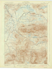
1932 · Stratton
USGS Topo · 1:62,500
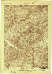
1932 · Kennebago Lake
USGS Topo · 1:48,000
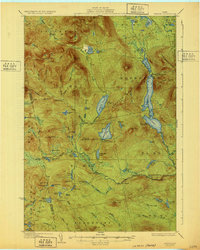
1932 · Spencer
USGS Topo · 1:62,500