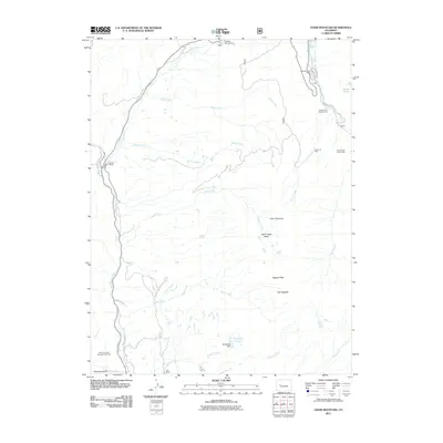
2011 Map of Chair Mountain
USGS Topo · Published 2011About this map
Chair Mountain and the jagged ridges of The Raggeds dominate this landscape in the Elk Mountains region. The drainage patterns of East Muddy Creek and Chair Creek reveal a rugged topography where resource extraction and recreation coexist. Notable industrial footprints include the Anthracite Fuel Company Properties and mineral sites like the Tuscarora Mine and Chair Creek Tunnel Mine. Local ranching history is evidenced by several named homesteads, including Volk Ranch and Jacobs Ranch, which sit near the winding course of the Crystal River. Water management for these high-altitude operations is highlighted by the Twin Forks Ditch and Tomahawk Dam, which feeds into the Tomahawk Reservoir.
Find a feature on this map
32 named features on this map. Tap any name to fly to it.
Don’t see what you’re looking for? This feature index may not catch every label — zoom into the map to look around manually.
Map Details
Editions of this 2011 Chair Mountain Map
This is the sole edition of this map. No revisions or reprints were ever made.
Other maps of this area

1888 · Anthracite
USGS Topo · 1:62,500

1889 · Anthracite
USGS Topo · 1:62,500

1893 · Anthracite
USGS Topo · 1:62,500

1894 · Anthracite
USGS Topo · 1:62,500

1938 · Mt. Gunnison
USGS Topo · 1:48,000

1945 · Mount Gunnison
USGS Topo · 1:62,500

1956 · Montrose
USGS Topo · 1:250,000

1957 · Leadville
USGS Topo · 1:250,000

1959 · Leadville
USGS Topo · 1:250,000

1959 · Montrose
USGS Topo · 1:250,000