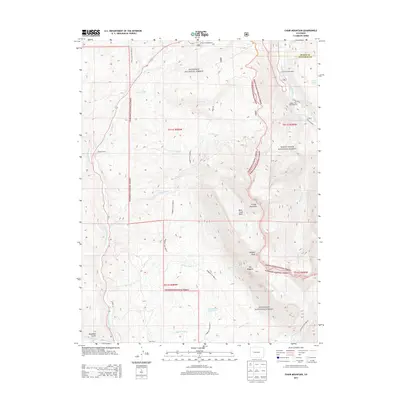
2013 Map of Chair Mountain
USGS Topo · Published 2013About this map
Chair Mountain and the high ridges of The Raggeds anchor this 2013 survey of the rugged divide between Gunnison National Forest and White River National Forest. The landscape is defined by its dramatic relief and alpine drainage systems, with the Crystal River flowing through the northeast corner and the headwaters of East Muddy Creek and Spring Creek carving deep valleys through the western slopes.
Find a feature on this map
34 named features on this map. Tap any name to fly to it.
Don’t see what you’re looking for? This feature index may not catch every label — zoom into the map to look around manually.
Map Details
Editions of this 2013 Chair Mountain Map
This is the sole edition of this map. No revisions or reprints were ever made.
Other maps of this area

1888 · Anthracite
USGS Topo · 1:62,500

1889 · Anthracite
USGS Topo · 1:62,500

1893 · Anthracite
USGS Topo · 1:62,500

1894 · Anthracite
USGS Topo · 1:62,500

1938 · Mt. Gunnison
USGS Topo · 1:48,000

1945 · Mount Gunnison
USGS Topo · 1:62,500

1956 · Montrose
USGS Topo · 1:250,000

1957 · Leadville
USGS Topo · 1:250,000

1959 · Leadville
USGS Topo · 1:250,000

1959 · Montrose
USGS Topo · 1:250,000