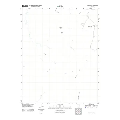
2011 Map of Chaiyahi Flat
USGS Topo · Published 2011About this map
Navajo Mountain dominates the northeastern horizon of this arid landscape, where the high desert is defined by a complex network of erosional features. The terrain transitions from the broad expanse of Blackbrush Flat and the curious depression known as The Kettle toward the sharp drop-offs of the Chaiyahi Flat Rim. In the northeast corner, Rainbow Lodge sits at the end of Indian Rte 161, serving as a jumping-off point for the high country.
Find a feature on this map
16 named features on this map. Tap any name to fly to it.
Don’t see what you’re looking for? This feature index may not catch every label — zoom into the map to look around manually.
Map Details
Editions of this 2011 Chaiyahi Flat Map
2 editions found
Other maps of this area

1883 · Marsh Pass
USGS Topo · 1:250,000

1886 · Escalante
USGS Topo · 1:250,000

1886 · Henry Mountains
USGS Topo · 1:250,000

1886 · Echo Cliffs
USGS Topo · 1:250,000

1891 · Echo Cliffs
USGS Topo · 1:250,000

1892 · Marsh Pass
USGS Topo · 1:250,000

1892 · Henry Mountains
USGS Topo · 1:250,000

1953 · Cummings Mesa
USGS Topo · 1:62,500

1953 · Navajo Mountain
USGS Topo · 1:62,500

1954 · Navajo Creek
USGS Topo · 1:62,500