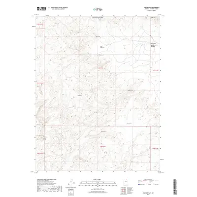
2018 Map of Chaiyahi Flat
USGS Topo · Published 2018About this map
Chaiyahi Flat and the surrounding high desert plateau are defined by a complex network of canyons and ancient geological formations. In the northeastern corner, the slopes of Navajo Mtn rise above Balanced Rock Mesa and Haystack Rock, marking a transition from the lower flats to the prominent mountain range. The map reveals a landscape etched by seasonal waterways including Tsagieto Canyon, Horse Canyon, and Jayi Canyon, which carve through the sandstone towards the Aztec Cr system. Human presence in this remote Coconino County terrain is sparse, centered primarily on Indian Rte 161 and a handful of dirt tracks that navigate around the Chaiyahi Rim. Natural landmarks such as Quick Arch, Arch in the Sky, and the distinctive depression known as The Kettle provide orientation points in this vast, unpopulated stretch of the Colorado Plateau.
Find a feature on this map
24 named features on this map. Tap any name to fly to it.
Don’t see what you’re looking for? This feature index may not catch every label — zoom into the map to look around manually.
Map Details
Editions of this 2018 Chaiyahi Flat Map
This is the sole edition of this map. No revisions or reprints were ever made.
Other maps of this area

1883 · Marsh Pass
USGS Topo · 1:250,000

1886 · Escalante
USGS Topo · 1:250,000

1886 · Henry Mountains
USGS Topo · 1:250,000

1886 · Echo Cliffs
USGS Topo · 1:250,000

1891 · Echo Cliffs
USGS Topo · 1:250,000

1892 · Marsh Pass
USGS Topo · 1:250,000

1892 · Henry Mountains
USGS Topo · 1:250,000

1953 · Cummings Mesa
USGS Topo · 1:62,500

1953 · Navajo Mountain
USGS Topo · 1:62,500

1954 · Navajo Creek
USGS Topo · 1:62,500