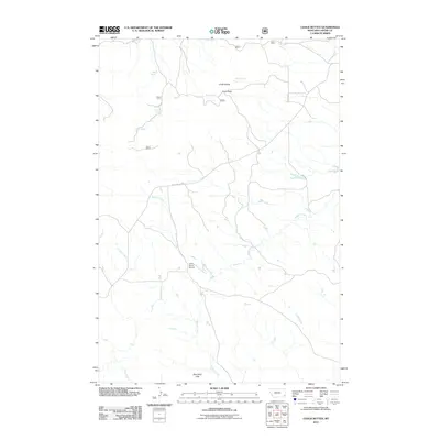
2011 Map of Chalk Buttes
USGS Topo · Published 2011About this map
Chalk Buttes dominates the northern horizon of this Carter County landscape, marking a prominent topographic break in southeastern Montana. The area is defined by a series of critical water sources, including Pete Spring, Foster Spring, and Alstrom Spring, which have historically supported ranching operations in this arid environment. Transportation through the high ground is facilitated by Trenk Pass, while Chalk Buttes Rd provides the primary access route across the drainage basins of Buffalo Creek and Schultz Creek.
Find a feature on this map
14 named features on this map. Tap any name to fly to it.
Don’t see what you’re looking for? This feature index may not catch every label — zoom into the map to look around manually.
Map Details
Editions of this 2011 Chalk Buttes Map
This is the sole edition of this map. No revisions or reprints were ever made.
Other maps of this area

1954 · Ekalaka
USGS Topo · 1:250,000

1956 · Ekalaka
USGS Topo · 1:250,000

1958 · Ekalaka
USGS Topo · 1:250,000

1965 · Ekalaka
USGS Topo · 1:250,000

1979 · W L Butte
USGS Topo · 1:24,000

1979 · Dutchman Creek
USGS Topo · 1:24,000

1979 · Blacktail Creek SE
USGS Topo · 1:24,000

1979 · Beaver Flats South
USGS Topo · 1:24,000

1979 · Dead Boy Divide
USGS Topo · 1:24,000

1979 · Ikey Creek
USGS Topo · 1:24,000