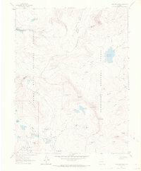
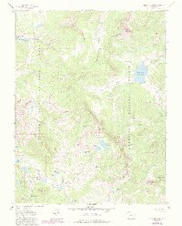
1961 Map of Chalk Mountain
USGS Topo · Published 1970About this map
Chalk Mountain and Crater Peak anchor a high-altitude landscape defined by its complex irrigation and water storage infrastructure along the border of the Grand Mesa National Forest and Gunnison National Forest. This 1961 field-checked survey reveals an extensive network of small upland reservoirs, including the uniquely named Holy Terror Res, Dogfish Reservoir, and Goodenough Reservoir, which managed the snowmelt for downstream use. The terrain is marked by geological features like the Lombard Slides and the prominent Overland Ditch, illustrating how early 20th-century water engineering adapted to the challenging topography of the Mesa and Delta county line. Backcountry access is documented through established routes such as the Leroux Trail and Doughty Park Trail, which connect these remote water bodies and mountain peaks.
Find a feature on this map
66 named features on this map. Tap any name to fly to it.
Don’t see what you’re looking for? This feature index may not catch every label — zoom into the map to look around manually.
Map Details
Editions of this 1961 Chalk Mountain Map
7 editions found

Other maps of this area

1955 · The Meadows
USGS Topo · 1:24,000

1956 · Montrose
USGS Topo · 1:250,000

1957 · Leadville
USGS Topo · 1:250,000

1959 · Leadville
USGS Topo · 1:250,000

1959 · Montrose
USGS Topo · 1:250,000

1960 · Leadville
USGS Topo · 1:250,000

1960 · Montrose
USGS Topo · 1:250,000

1960 · Leon Peak
USGS Topo · 1:24,000

1961 · Electric Mountain
USGS Topo · 1:24,000

1961 · Porter Mountain
USGS Topo · 1:24,000