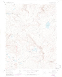
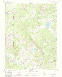
1961 Map of Chalk Mountain
USGS Topo · Published 1984About this map
High-altitude water management defines this 1960s landscape, where dozens of small irrigation reservoirs are scattered across the plateau. The boundary between Grand Mesa National Forest and Gunnison National Forest bisects the terrain, revealing an extensive network of human-engineered water storage in a high-country environment. Named features such as Overland Reservoir and Monument Res No 1 serve as primary catchments, while smaller, colorfully named basins like Skimmed Milk Res, Wash Tub Res, and Holy Terror Res suggest the colloquial history of early ranching and water rights in Delta and Mesa counties.
Find a feature on this map
54 named features on this map. Tap any name to fly to it.
Don’t see what you’re looking for? This feature index may not catch every label — zoom into the map to look around manually.
Map Details
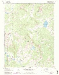
Editions of this 1961 Chalk Mountain Map
7 editions found

Other maps of this area

1955 · The Meadows
USGS Topo · 1:24,000

1956 · Montrose
USGS Topo · 1:250,000

1957 · Leadville
USGS Topo · 1:250,000

1959 · Leadville
USGS Topo · 1:250,000

1959 · Montrose
USGS Topo · 1:250,000

1960 · Leadville
USGS Topo · 1:250,000

1960 · Montrose
USGS Topo · 1:250,000

1960 · Leon Peak
USGS Topo · 1:24,000

1961 · Electric Mountain
USGS Topo · 1:24,000

1961 · Porter Mountain
USGS Topo · 1:24,000