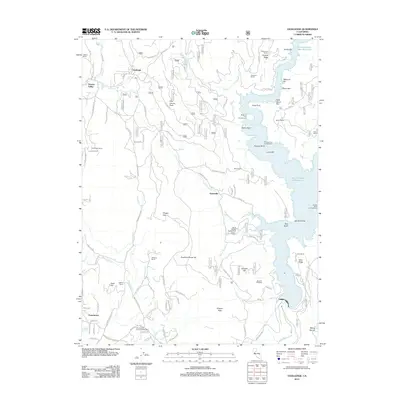
2012 Map of Challenge
USGS Topo · Published 2012About this map
The northern Sierra Nevada foothills are defined by the winding waters of the New Bullards Bar Reservoir and the deep drainage of the N Yuba River in this 2012 survey. Centered around the communities of Challenge and Sharon Valley, the landscape is a mix of forest management and legacy ranching. Settlement patterns are concentrated along the historical La Porte Rd corridor, where the Post Office serves as a central landmark for the surrounding heights of Pike County Peak and Empire Ridge. The map reveals the extensive network of forest service roads and logging routes that navigate the complex terrain of the Oregon Hills and Fountain House Hill. To the south, the Yuba County Forestry Headquarter near Frenchtown anchors the local timber and land management economy, while various family-named holdings like Whitehead Ranch and Girot Ranch dot the more accessible ridges.
Find a feature on this map
110 named features on this map. Tap any name to fly to it.
Don’t see what you’re looking for? This feature index may not catch every label — zoom into the map to look around manually.
Map Details
Editions of this 2012 Challenge Map
This is the sole edition of this map. No revisions or reprints were ever made.
Other maps of this area

1888 · Smartsville
USGS Topo · 1:125,000

1888 · Bidwell Bar
USGS Topo · 1:125,000

1891 · Bidwell Bar
USGS Topo · 1:125,000

1891 · Smartsville
USGS Topo · 1:125,000

1892 · Smartsville
USGS Topo · 1:125,000

1893 · Bidwell Bar
USGS Topo · 1:125,000

1894 · Smartsville
USGS Topo · 1:125,000

1895 · Bidwell Bar
USGS Topo · 1:125,000

1895 · Smartsville
USGS Topo · 1:125,000

1897 · Bidwell Bar
USGS Topo · 1:125,000