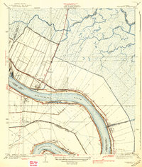
1939 Map of Chalmette
USGS Topo · Published 1939About this map
The Mississippi River defines the landscape of St. Bernard Parish in the mid-1930s, winding past the historic grounds of Chalmette Nat Mon and the adjacent Chalmette Nat Cem. This era shows a transition from plantation-style land divisions to early 20th-century settlements like Versailles, Meraux, and Violet, all linked by the Southern railroad and the Paris Road. The map provides a detailed view of the complex hydraulic engineering of the delta, featuring the Lake Borgne Canal, the Norman Canal, and the extensive Back Protection Levee designed to manage the surrounding marshlands. To the north, the winding courses of Bayou Bienvenue and Bayou Villere reflect the original natural drainage before the intensification of industrial and residential development near Chalmette. South of the great bend at English Turn, smaller landings and settlements such as Little Rock and Stanton line the river's edge.
Find a feature on this map
32 named features on this map. Tap any name to fly to it.
Don’t see what you’re looking for? This feature index may not catch every label — zoom into the map to look around manually.
Map Details
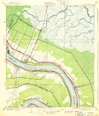
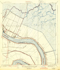
Editions of this 1939 Chalmette Map
3 editions found
Other maps of this area

1891 · Spanish Fort
USGS Topo · 1:62,500

1891 · New Orleans
USGS Topo · 1:62,500

1892 · Chef Menteur
USGS Topo · 1:62,500

1892 · St. Bernard
USGS Topo · 1:62,500

1932 · New Orleans NE
USGS Topo · 1:31,680

1932 · New Orleans SE
USGS Topo · 1:31,680

1935 · Delacroix
USGS Topo · 1:31,680

1936 · Chef Menteur
USGS Topo · 1:62,500

1936 · Spanish Fort
USGS Topo · 1:62,500

1937 · Chef Menteur
USGS Topo · 1:31,680