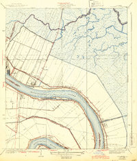
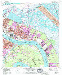
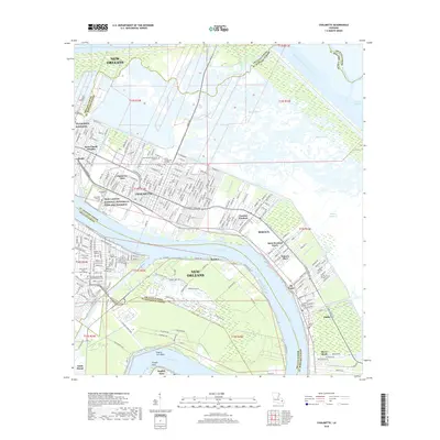
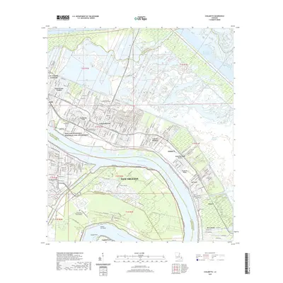
1939 Map of Chalmette
USGS Topo · Published 1944About this map
The Mississippi River creates a dramatic curve at English Turn and Shingle Pt in this late 1930s survey of the river delta below New Orleans. The landscape is defined by the proximity of the river to the sprawling marshlands, partitioned by significant engineering works like the Paris Road, the Back Protection Levee, and the Lake Borgne Canal. Along the river’s northern bank, a string of historic settlements including Fazende, Chalmette, Versailles, Meraux, and Violet follow the narrow strip of high ground between the water and the bayous. This area is noted for its commemorative landmarks, specifically the Chalmette Nat Mon and Chalmette Nat Cem. The interior is crisscrossed by industrial and drainage features such as the Norman Canal and Planters Canal, alongside the transport corridor of the Southern Louisiana railroad, reflecting a coastal region balancing agricultural drainage and navigation.
Find a feature on this map
30 named features on this map. Tap any name to fly to it.
Don’t see what you’re looking for? This feature index may not catch every label — zoom into the map to look around manually.
Map Details
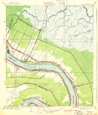
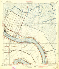
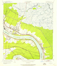
Editions of this 1939 Chalmette Map
3 editions found
Historical Maps of New Orleans Through Time
9 maps found
1939 Chalmette
St. Bernard Parish, LA
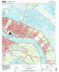
1951 Chalmette
St. Bernard Parish, LA
1967 Chalmette
St. Bernard Parish, LA
1998 Chalmette
St. Bernard Parish, LA
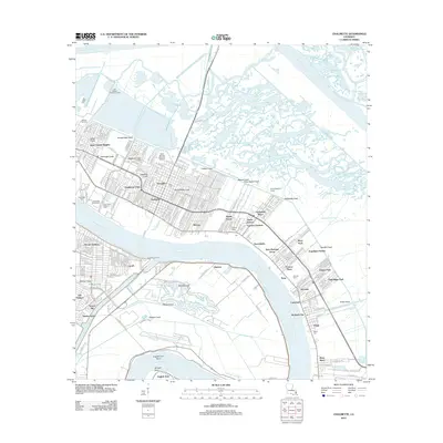
2012 Chalmette
St. Bernard Parish, LA
2015 Chalmette
St. Bernard Parish, LA
2018 Chalmette
St. Bernard Parish, LA
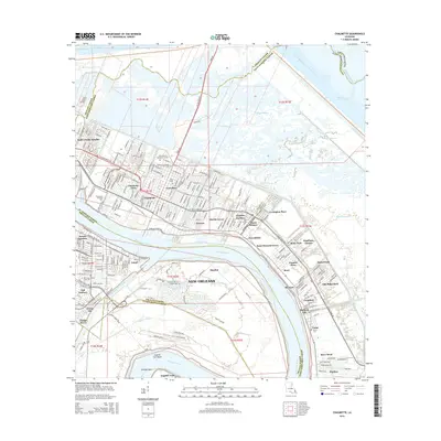
2020 Chalmette
St. Bernard Parish, LA
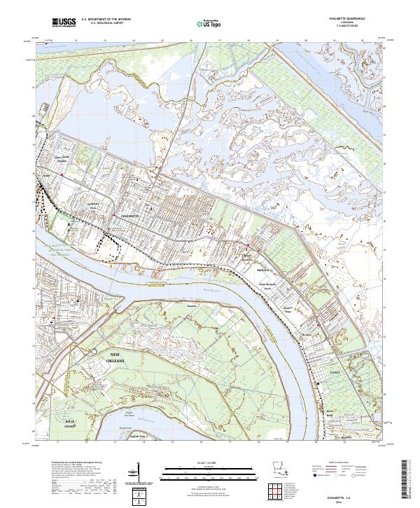
2024 Chalmette
St. Bernard Parish, LA