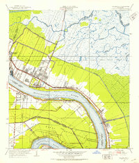
1951 Map of Chalmette
USGS Topo · Published 1953About this map
The Mississippi River defines the structure of this coastal landscape, where narrow strips of developed land and plantations like Stanton parallel the river's great bend at English Turn. In the early 1950s, the community of Chalmette and newer developments such as St Claude Heights and Chalmette Vista show the post-war expansion of New Orleans' eastern suburbs. The map captures a high concentration of commemorative and strategic sites, including the Chalmette Nat Mon and Chalmette Nat Cem, alongside the sprawling U S Naval Reservation.
Find a feature on this map
34 named features on this map. Tap any name to fly to it.
Don’t see what you’re looking for? This feature index may not catch every label — zoom into the map to look around manually.
Map Details
Editions of this 1951 Chalmette Map
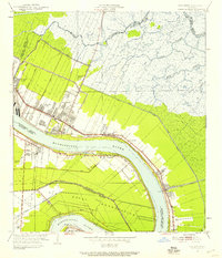
2 editions found
Other maps of this area

1891 · Spanish Fort
USGS Topo · 1:62,500

1891 · New Orleans
USGS Topo · 1:62,500

1892 · Chef Menteur
USGS Topo · 1:62,500

1892 · St. Bernard
USGS Topo · 1:62,500

1932 · New Orleans NE
USGS Topo · 1:31,680

1932 · New Orleans SE
USGS Topo · 1:31,680

1935 · Delacroix
USGS Topo · 1:31,680

1936 · Chef Menteur
USGS Topo · 1:62,500

1936 · Spanish Fort
USGS Topo · 1:62,500

1937 · Chef Menteur
USGS Topo · 1:31,680