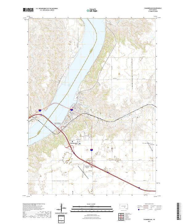
2021 Map of Chamberlain
USGS Topo · Published 2021About this map
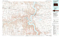
Lake Francis Case dominates the landscape as the Missouri River widens between the riverfront communities of Chamberlain and Oacoma. The Lewis and Clark Memorial Bridge spans the reservoir, connecting the two settlements and the counties of Lyman and Brule. In Chamberlain, the civic heart is marked by the Brule County Courthouse and the nearby Riverview Cem overlooking the water. The local infrastructure includes aviation facilities like the Chamberlain Municipal Airport and Cook Field further east. Along the western bluffs, George Mickelson Shoreline Dr and Pontoon Cr reveal the varied terrain of the Missouri breaks. Residential growth is visible in named streets like Sunset Blvd and E Clemmer Ave, while the surrounding plateau is defined by traditional township grids.
Find a feature on this map
43 named features on this map. Tap any name to fly to it.
Don’t see what you’re looking for? This feature index may not catch every label — zoom into the map to look around manually.
Map Details
Editions of this 2021 Chamberlain Map
This is the sole edition of this map. No revisions or reprints were ever made.
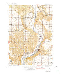
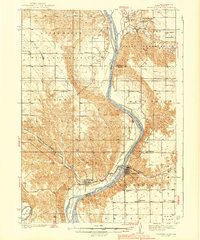
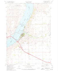
Historical Maps of Oacoma Through Time
5 maps found
Featured Locations
- Oacoma, SD
- Red Lake Township, SD
- Chamberlain Township, SD
- West Point Township, SD
- Chamberlain, Chamberlain Township