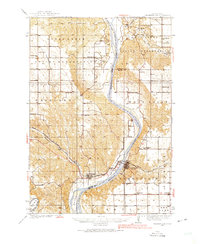
1935 Map of Chamberlain
USGS Topo · Published 1975About this map
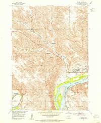
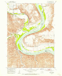
The Missouri River carves a deep valley through this mid-1930s landscape, serving as the central artery for the towns of Chamberlain and Oacoma. As the Chicago Milwaukee St Paul and Pacific railroad crosses the water via American Island, the map reveals a rural society built around small school districts and mission outposts. Significant land tracts are dedicated to the Lower Brule Indian Reservation and the Crow Creek Indian Reservation, where Grace Mission and its associated school are established.
Find a feature on this map
36 named features on this map. Tap any name to fly to it.
Don’t see what you’re looking for? This feature index may not catch every label — zoom into the map to look around manually.
Map Details
Editions of this 1935 Chamberlain Map
This is the sole edition of this map. No revisions or reprints were ever made.
Other maps of this area
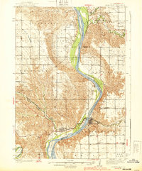
1939 · Chamberlain
USGS Topo · 1:62,500

1940 · Iona
USGS Topo · 1:62,500
1941 · Pukwana
USGS Topo · 1:62,500
1944 · Iona
USGS Topo · 1:62,500
1951 · Pukwana
USGS Topo · 1:62,500

1952 · Reliance SE
USGS Topo · 1:24,000

1952 · Hamill NE
USGS Topo · 1:24,000
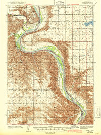
1952 · Oacoma
USGS Topo · 1:24,000
1952 · Iona NW
USGS Topo · 1:24,000

1953 · Huron
USGS Topo · 1:250,000
Featured Places
- Chamberlain, Chamberlain Township
- Oacoma, SD
- Fort Thompson District, SD
- Chamberlain Township, SD
- West Point Township, SD