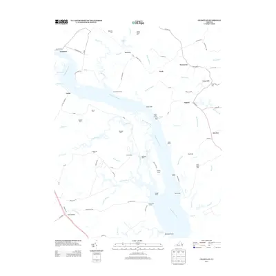
2013 Map of Champlain
USGS Topo · Published 2013About this map
The Rappahannock River defines the landscape of this region, separating the coastal necks and farmsteads of the Northern Neck from the southern shores. Dominating the riverside are the prominent Fones Cliffs, which look out over islands such as Lukes Island and Paynes Island. The river economy is clearly visible through a series of historic landing points and maritime infrastructure, including Carters Wharf Landing, Baird Landing, and Jones Landing.
Find a feature on this map
88 named features on this map. Tap any name to fly to it.
Don’t see what you’re looking for? This feature index may not catch every label — zoom into the map to look around manually.
Map Details
Editions of this 2013 Champlain Map
This is the sole edition of this map. No revisions or reprints were ever made.
Other maps of this area

1889 · Fredericksburg
USGS Topo · 1:125,000

1892 · Fredericksburg
USGS Topo · 1:125,000

1892 · Montross
USGS Topo · 1:62,500

1894 · Fredericksburg
USGS Topo · 1:125,000

1895 · Nomini
USGS Topo · 1:125,000

1895 · Montross
USGS Topo · 1:62,500

1898 · Nomini
USGS Topo · 1:125,000

1918 · Tappahannock
USGS Topo · 1:62,500

1918 · Aylett
USGS Topo · 1:62,500

1919 · Tappahannock
USGS Topo · 1:62,500