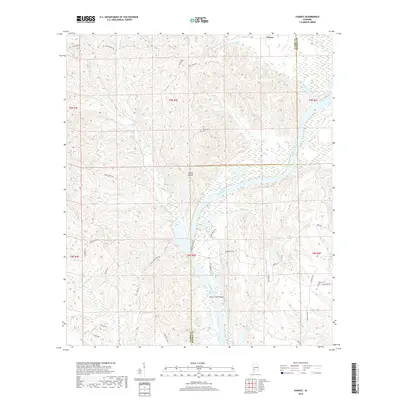
2018 Map of Chance
USGS Topo · Published 2018About this map
The Alabama River carves a winding path through this portion of Clarke and Monroe Counties, defining a landscape where river navigation and rural settlement intersect. The small community of Chance sits near the northern boundary, while the river's course is marked by significant natural navigation points like Turkey Shoals and Silver Creek Shoal. These river features historically dictated the movement of goods and people in the region, serving as obstacles or landmarks for river traffic.
Find a feature on this map
48 named features on this map. Tap any name to fly to it.
Don’t see what you’re looking for? This feature index may not catch every label — zoom into the map to look around manually.
Map Details
Editions of this 2018 Chance Map
This is the sole edition of this map. No revisions or reprints were ever made.
Other maps of this area

1953 · Andalusia
USGS Topo · 1:250,000

1957 · Andalusia
USGS Topo · 1:250,000

1972 · Franklin
USGS Topo · 1:24,000

1972 · Mexia
USGS Topo · 1:24,000

1972 · Whatley
USGS Topo · 1:24,000

1972 · Claiborne
USGS Topo · 1:24,000

1972 · Suggsville
USGS Topo · 1:24,000

1972 · Chance
USGS Topo · 1:24,000

1973 · Fulton East
USGS Topo · 1:24,000

1973 · Hybart
USGS Topo · 1:24,000