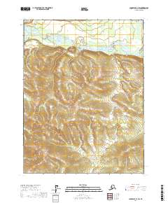
2017 Map of Chandalar A-1 SW
USGS Topo · Published 2017About this map
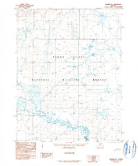
The Teedriinjik River meanders across the northern portion of this Alaska interior landscape, defining the primary drainage system for the surrounding elevation. This 2017 survey captures the intricate braided channels and sandbars characteristic of this river valley as it cuts through the high relief of the Brooks Range foothills. The terrain south of the river rises steadily into complex ridge systems, delineated by the Public Land Survey System boundaries of t26n r1e, t26n r2e, and t25n r1e. The topographic detail highlights the relationship between the low-lying wetlands of the river corridor and the steep, unpopulated slopes that dominate the southern two-thirds of the quadrangle.
Find a feature on this map
7 named features on this map. Tap any name to fly to it.
Don’t see what you’re looking for? This feature index may not catch every label — zoom into the map to look around manually.
Map Details
Editions of this 2017 Chandalar A-1 SW Map
This is the sole edition of this map. No revisions or reprints were ever made.
Other maps of this area

1951 · Chandalar
USGS Topo · 1:250,000

1951 · Beaver
USGS Topo · 1:250,000

1956 · Chandalar
USGS Topo · 1:250,000

1956 · Beaver
USGS Topo · 1:250,000

1964 · Chandalar
USGS Topo · 1:250,000

1964 · Beaver
USGS Topo · 1:250,000
1990 · Chandalar A-2
USGS Topo · 1:63,360
1990 · Chandalar A-1
USGS Topo · 1:63,360
1990 · Beaver D-2
USGS Topo · 1:63,360
1990 · Beaver D-1
USGS Topo · 1:63,360