
1956 Map of Beaver
USGS Topo · Published 1959About this map
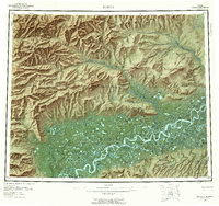
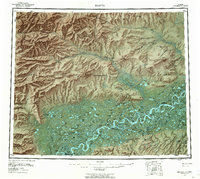
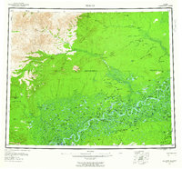
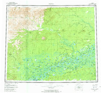
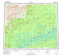
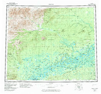
The Yukon River meanders through a labyrinth of sloughs and islands in this mid-century interior Alaska survey, crossing the Arctic Circle north of Stevens Village. The settlement of Beaver serves as a primary point of human activity along the northern banks of the flats, where the river divides into complex waterways like Kings Slough and surrounds Marten Island. To the northwest, the terrain rises toward Dall Mtn and the Long Ridge, while the former location of Dall City marks a point of earlier activity along the Dall River. This map documents a wilderness landscape defined by seasonal movement, shown through the Winter Trail leading north toward the Hadweenzic River and a designated Landing Area near Lansing Creek. The abundance of indigenous place names for water bodies, such as Minkoshchaliton Lake and Gushdoimon Lake, reflects the traditional geography of the Yukon Flats.
Find a feature on this map
137 named features on this map. Tap any name to fly to it.
Don’t see what you’re looking for? This feature index may not catch every label — zoom into the map to look around manually.
Map Details
Editions of this 1956 Beaver Map
7 editions found
Other maps of this area

1945 · Livengood
USGS Topo · 1:250,000

1951 · Fort Yukon
USGS Topo · 1:250,000

1951 · Bettles
USGS Topo · 1:250,000

1951 · Tanana
USGS Topo · 1:250,000

1951 · Chandalar
USGS Topo · 1:250,000

1951 · Livengood
USGS Topo · 1:250,000

1951 · Christian
USGS Topo · 1:250,000

1951 · Beaver
USGS Topo · 1:250,000

1951 · Wiseman
USGS Topo · 1:250,000

1951 · Circle
USGS Topo · 1:250,000