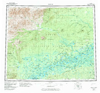
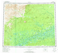
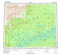
1956 Map of Beaver
USGS Topo · Published 1984About this map
Beaver and Stevens Village serve as the primary human anchors on the south bank of the Yukon River, where the landscape transitions into the immense wetland complex of the Yukon Flats. This mid-century survey documents a wilderness economy defined by seasonal mobility and survival, characterized by an extensive network of cabins such as Fifty Mile Cabin and Fourteenmile Cabin that line remote waterways.
Find a feature on this map
177 named features on this map. Tap any name to fly to it.
Don’t see what you’re looking for? This feature index may not catch every label — zoom into the map to look around manually.
Map Details
Editions of this 1956 Beaver Map
7 editions found

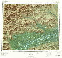
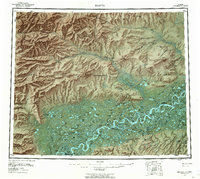
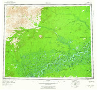
Other maps of this area

1945 · Livengood
USGS Topo · 1:250,000

1951 · Fort Yukon
USGS Topo · 1:250,000

1951 · Bettles
USGS Topo · 1:250,000

1951 · Tanana
USGS Topo · 1:250,000

1951 · Chandalar
USGS Topo · 1:250,000

1951 · Livengood
USGS Topo · 1:250,000

1951 · Christian
USGS Topo · 1:250,000

1951 · Beaver
USGS Topo · 1:250,000

1951 · Wiseman
USGS Topo · 1:250,000

1951 · Circle
USGS Topo · 1:250,000