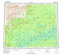
1956 Map of Beaver
USGS Topo · Published 1981About this map
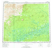
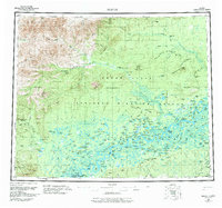
The Arctic Circle cuts through this subarctic interior landscape, where the settlement of Beaver sits along a northern bend of the Yukon River. This 1950s survey documents a network of isolated outposts, showing numerous trapper or distance-marked shelters like Fifty-six Mile Cabin and Fourteenmile Cabin scattered across the Yukon Flats National Monument. The terrain is defined by the braided hydrology of the Hadweenzic River and the Hodzana River, with seasonal mobility indicated by a series of winter trails and winter roads. Geographers and local historians will find several notable locations of earlier activity, specifically the documented positions of West Fork Dall City (Site) and Kings Slough Village (Site). The map illustrates the transition from the river-level flats toward the Hamlin Hills and prominent peaks like Lone Mtn and Dall Mtn.
Find a feature on this map
154 named features on this map. Tap any name to fly to it.
Don’t see what you’re looking for? This feature index may not catch every label — zoom into the map to look around manually.
Map Details
Editions of this 1956 Beaver Map
7 editions found

Other maps of this area

1945 · Livengood
USGS Topo · 1:250,000

1951 · Fort Yukon
USGS Topo · 1:250,000

1951 · Bettles
USGS Topo · 1:250,000

1951 · Tanana
USGS Topo · 1:250,000

1951 · Chandalar
USGS Topo · 1:250,000

1951 · Livengood
USGS Topo · 1:250,000

1951 · Christian
USGS Topo · 1:250,000

1951 · Beaver
USGS Topo · 1:250,000

1951 · Wiseman
USGS Topo · 1:250,000

1951 · Circle
USGS Topo · 1:250,000