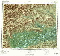
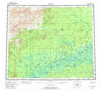
1956 Map of Beaver
USGS Topo · Published 1959About this map
The Yukon River meanders across this mid-century landscape, carving a complex network of islands and sloughs such as Whirlpool Island and Kings Slough. The river acts as a dividing line between the dense, lake-strewn flats to the south and the rising peaks of the Hodzana Hills and Owl Hills to the north. Settlement is sparse and tied directly to the water, anchored by the river community of Beaver and the upstream Stevens Village.
Find a feature on this map
146 named features on this map. Tap any name to fly to it.
Don’t see what you’re looking for? This feature index may not catch every label — zoom into the map to look around manually.
Map Details
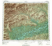
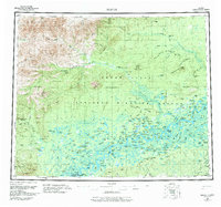
Editions of this 1956 Beaver Map
7 editions found

Other maps of this area

1945 · Livengood
USGS Topo · 1:250,000

1951 · Fort Yukon
USGS Topo · 1:250,000

1951 · Bettles
USGS Topo · 1:250,000

1951 · Tanana
USGS Topo · 1:250,000

1951 · Chandalar
USGS Topo · 1:250,000

1951 · Livengood
USGS Topo · 1:250,000

1951 · Christian
USGS Topo · 1:250,000

1951 · Beaver
USGS Topo · 1:250,000

1951 · Wiseman
USGS Topo · 1:250,000

1951 · Circle
USGS Topo · 1:250,000