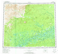
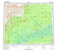
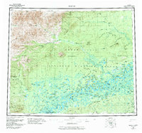
1956 Map of Beaver
USGS Topo · Published 1973About this map
Beaver and Stevens Village serve as the primary human anchors along the Yukon River in this mid-century survey of the northern interior. The landscape transitions from the expansive, water-saturated Yukon Flats in the south to the prominent elevations of Nelson Mountain and Dall Mtn further north. Crossing the Arctic Circle, the map reveals a remote network of subsistence and transport, marked by a string of numbered waypoints such as Fiftysix Mile Cabin and Fourteenmile Cabin along the Hadweenzic River drainage. Evidence of earlier gold-era activity is noted at the Dall City (Site) on the Dall River, while contemporary travel is represented by the Winter Road and Winter Trail cutting through the Owl Hills and Hermit Ridge. This era of the territory is defined by these seasonal corridors and the complex hydrology of the Fish Slough and Mud Lakes.
Find a feature on this map
147 named features on this map. Tap any name to fly to it.
Don’t see what you’re looking for? This feature index may not catch every label — zoom into the map to look around manually.
Map Details
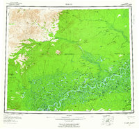
Editions of this 1956 Beaver Map
7 editions found

Other maps of this area

1945 · Livengood
USGS Topo · 1:250,000

1951 · Fort Yukon
USGS Topo · 1:250,000

1951 · Bettles
USGS Topo · 1:250,000

1951 · Tanana
USGS Topo · 1:250,000

1951 · Chandalar
USGS Topo · 1:250,000

1951 · Livengood
USGS Topo · 1:250,000

1951 · Christian
USGS Topo · 1:250,000

1951 · Beaver
USGS Topo · 1:250,000

1951 · Wiseman
USGS Topo · 1:250,000

1951 · Circle
USGS Topo · 1:250,000