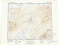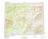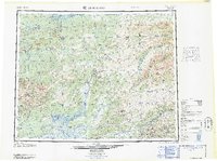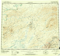
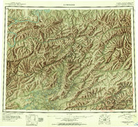
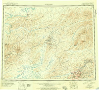
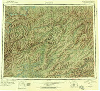
1945 Map of Livengood
USGS Topo · Published 1945About this map
The Yukon River carves through the northern reaches of this territory, where the settlement of Fort Hamlin (Aband'd) stands as a reminder of early riverine trade routes. This 1945 record documents a landscape transitioning from pioneer river travel to a burgeoning overland network. The Elliott Highway and Steese Highway provide the primary arteries connecting interior mining hubs, while numerous tractor trails and sled roads branch out toward isolated claims. In the southern interior, the mining district around Chatanika and Meehan shows a dense concentration of local infrastructure, including several named gulches and domes.
Find a feature on this map
165 named features on this map. Tap any name to fly to it.
Don’t see what you’re looking for? This feature index may not catch every label — zoom into the map to look around manually.
Map Details
Editions of this 1945 Livengood Map
4 editions found
Historical Maps of Livengood Through Time
4 maps found